


Fire map help sought
 Print
Print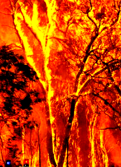 Experts want local input to improve bushfire maps in the ACT and Snowy Monaro regions.
New research is exploring the vital role that bushfire maps play in informing how people respond to fire threats, with input from residents of southern Canberra, the southern ACT and the Snowy Monaro region of New South Wales impacted by any bushfire over the last four years needed.
The researchers say that any resident of Banks, Conder, Gordon or Tharwa in the ACT or Michelago, Bredbo, Adaminaby or Jindabyne and surrounds in New South Wales, who have been affected by a bushfire and are aged 18 years or over, can use their experiences to help shape bushfire safety via a research interview in March.
The study by Natural Hazards Research Australia and RMIT University will help improve the design of maps used by fire agencies including the ACT Rural Fire Service and the NSW Rural Fire Service, that show a bushfire’s location and potential spread. The research is supported by the Snowy Monaro Regional Council.
No experience with bushfire spread prediction maps or maps in general is needed to participate. The research team will ask participants to recall information they received and actions they took during a previous bushfire, along with any role maps played in their response. Participants will also be asked for their perspectives on two pilot maps that have been developed for the study.
The research team will be conducting in‐person interviews in Tharwa, Michelago, Bredbo, Adaminaby and Jindabyne from 16‐25 March and registrations are encouraged now. Online interviews are also possible from 13 March, with residents of Banks, Conder and Gordon encouraged to participate in an online interview if they are unable to attend in‐person in Tharwa.