


Water report shows dry effect
 Print
Print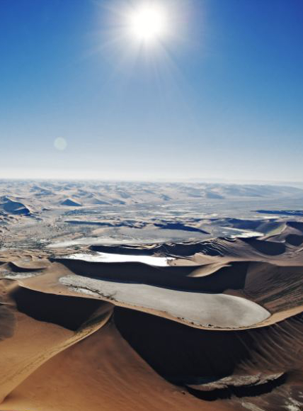 Experts say much of the world was drier than usual last year, despite La Niña.
The World Meteorological Organization has published its first State of Global Water Resources report, assessing the effects of climate, environmental and societal change on the Earth’s water resources.
The report gives an overview of river flow, as well as major floods and droughts. It also provides insights into hotspots for changes in freshwater storage and highlights the crucial role and vulnerability of the cryosphere (snow and ice).
The report shows how large areas of the globe recorded drier than normal conditions in 2021 - a year in which precipitation patterns were influenced by climate change and a La Niña event.
The area with below-average streamflow was approximately two times larger than the above-average area, in comparison to the 30-year hydrological average.
“The impacts of climate change are often felt through water – more intense and frequent droughts, more extreme flooding, more erratic seasonal rainfall and accelerated melting of glaciers – with cascading effects on economies, ecosystems and all aspects of our daily lives. And yet, there is insufficient understanding of changes in the distribution, quantity, and quality of freshwater resources,” said WMO Secretary-General Prof Petteri Taalas.
“The State of Global Water Resources report aims to fill that knowledge gap and provide a concise overview of water availability in different parts of the world. This will inform climate adaptation and mitigation investments as well as the United Nations campaign to provide universal access in the next five years to early warnings of hazards such as floods and droughts,” said Prof Taalas.
Currently, 3.6 billion people face inadequate access to water at least a month per year and this is expected to increase to more than 5 billion by 2050. Between 2001 and 2018, UN-Water reported that 74 per cent of all natural disasters were water-related.
The recent UN climate change conference, COP27, urged governments to further integrate water into adaptation efforts, the first-time water has been referenced in a COP outcome document in recognition of its critical importance.
The first edition of the report looks at streamflow – the volume of water flowing through a river channel at any given time. It also assesses terrestrial water storage - all water on the land surface and sub-surface and the cryosphere (frozen water).
The information and accompanying maps are largely based on modelled data (to achieve maximum geographical coverage) and remotely sensed information from NASA’s GRACE (Gravity Recovery and Climate Experiment) mission for terrestrial water storage. The modelled results were validated against observed data, wherever available).
The report highlights the lack of accessible verified hydrological data. WMO’s Unified Data Policy seeks to accelerate the availability and sharing of hydrological data, including river discharge information and transboundary river basins.
More details are accessible here.