


Drones home in on horses
 Print
Print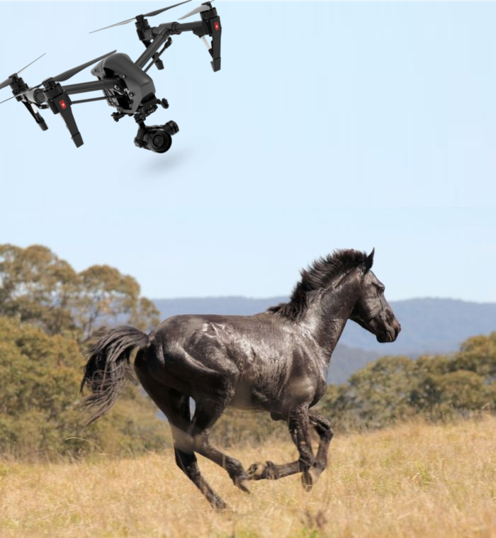 A new project is using drones to track and model the erosion caused by feral horses in NSW.
UNSW researcher Dr David Paull has been using flying drones track the erosion caused by feral horses, while also producing vital 3D computer models of creek banks in Australian Alps.
“I’m monitoring about 30 different water courses through Kosciuszko National Park and just into Victoria and the headwaters of the Murray River,” Dr Paull says.
“We are using precision surveying equipment with a drone. The 3D models that this technology enables us to build are geographically referenced down to millimetres. We can then go back and take repeat measurements year after year.”
In June 2018, legislation was passed by the NSW Parliament to recognise the heritage value of sustainable wild horse populations within parts of Kosciuszko National Park and to protect that heritage through a wild horse management plan.
The Australian Alps Liaison Committee are funding Dr Paull’s project and say they are enthusiastic to review the outcomes next year.
“Some of the sites along the Murray that I’m tracking are less than a metre wide, where the creek emerges as a trickle, and its being absolutely trashed,” Dr Paull says.
“So here we’ve got Australia’s iconic river, the headwaters of the Murray, and they are just a quagmire from horse impacts.
“At the end of the project I’ll be able to talk about horse impacts in terms of the widening zone, the trample impact and we’ll even be able to count individual puggings – or footprints – and quantify that through time.”
Dr Paull says that this project will provide profound data like volumes of sediment and changes to the condition through pugging, which is difficult to quantify by other means.